v8.0 [Dec 10, 2015] Classify by Vehicle PathTopography Projection ToolExtract by TemplateCrosswalk Stripe Extraction
v7.1 [Oct 28, 2014] May include unspecified updates, enhancements, or bug fixes.
Compile land survey data, draw maps and customize various resources.
Customizable 3D data modeling and presentation tool.
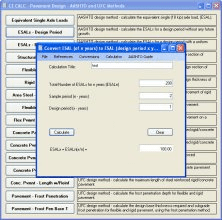
Performs civil engineering calculations for hydrology, open channels and more.
A cloud based application for managing student data.
Design package which can be used in Civil Engineering.